Explore to Understand
Let’s pave the way for a new era of real-time, participatory oceanography by becoming a connected scientific platform dedicated to research.
The Heart of Our Mission
the visual archive
The Georeferenced Photographic Archive
The OAVCOP Method
What is it?Ocean Archive Visual Coastal Observation Protocol.
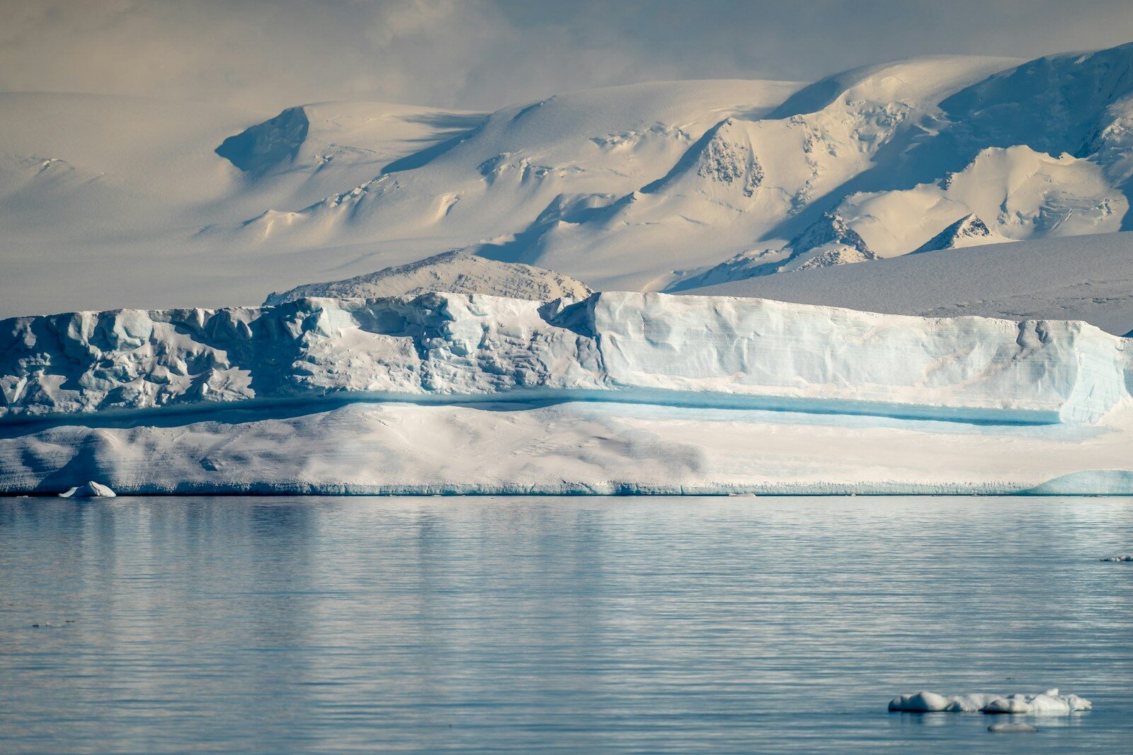
An onboard 4K camera automatically captures images of coastal landscapes, glaciers, and sea ice according to a standardized data acquisition protocol. Each image is synchronized via a UTC timestamp with data from the ship’s sensors: GPS position, air and water temperature in °C, pressure, humidity, and much more.
Our sailboat becomes a true mobile observation station.
Our protocol is designed to be adaptable and to turn every sailboat into a potential ocean climate sentinel.
Data Storage and Distribution
The OAE is the first research vessel to share its environmental data daily with Ifremer via the Coriolis oceanographic platform.
Ifremer’s Sextant platform manages the archiving and distribution of our 4K image catalog. Aligned with the FAIR principles, this visual archive is continuously cataloged along with its environmental context.
Open Science for Climate Action
Why is this crucial? This data stream generates an interoperable reference dataset, managed according to FAIR principles and shared under an open-access license (Creative Commons). Intended for long-term research, it provides scientists worldwide with raw data to study coastal typology and quantify coastal changes in the face of climate change. These data also help validate numerical models and feed into global predictive climate models.
The richness of this standardized visual archive makes it an ideal resource for AI applications in Earth observation, opening up new possibilities for automated monitoring and analysis of coastlines.
Discover the equipment and citizen science programs we’re bringing along to help science unlock the secrets of our planet
The onboard laboratory:
Our scientific equipment
the Météo-France buoy
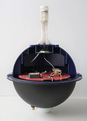
What is it? A marine sentinel to be deployed off the coast of the Barents Sea, where weather data is most lacking.
With its floating anchor, it will drift autonomously. Every hour, it will wake up to transmit its GPS position, sea temperature, pressure, and surface current speed via satellite.
What is it used for? It helps refine global climate models in real time and improve weather forecasts.
the France Weather Kit
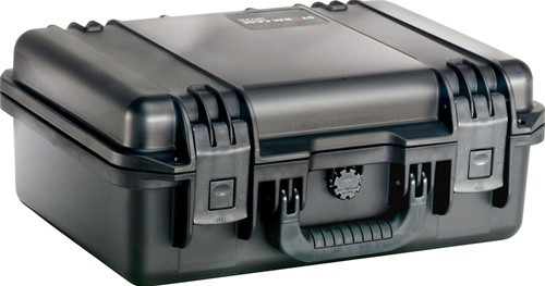
Pending validation. Prototype currently undergoing onboard testing aboard the Grain de Sail sailboat.
What is it? Sensors that continuously measure air temperature, humidity, and pressure along our route.
What's the point? The measurements are transmitted in real time via satellite to feed into weather models and refine forecast maps.
All of this data is made available as Open Science on the Coriolis network.
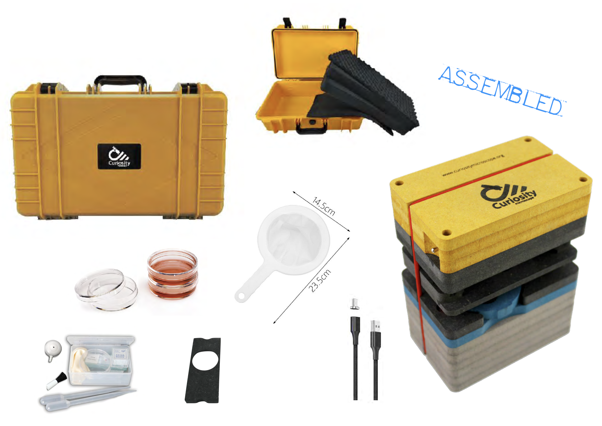
the Curiosity microscope
Scientific program awaiting funding, in partnership with PlanktonPlanet.
What is it? Designed for exploring the microbiome, it captures details of the invisible world and allows for the analysis of a wide variety of samples.
What's it for? With 4K microscopic imaging, it's a rare and ideal tool for observing seawater and compiling a biological inventory along our route.
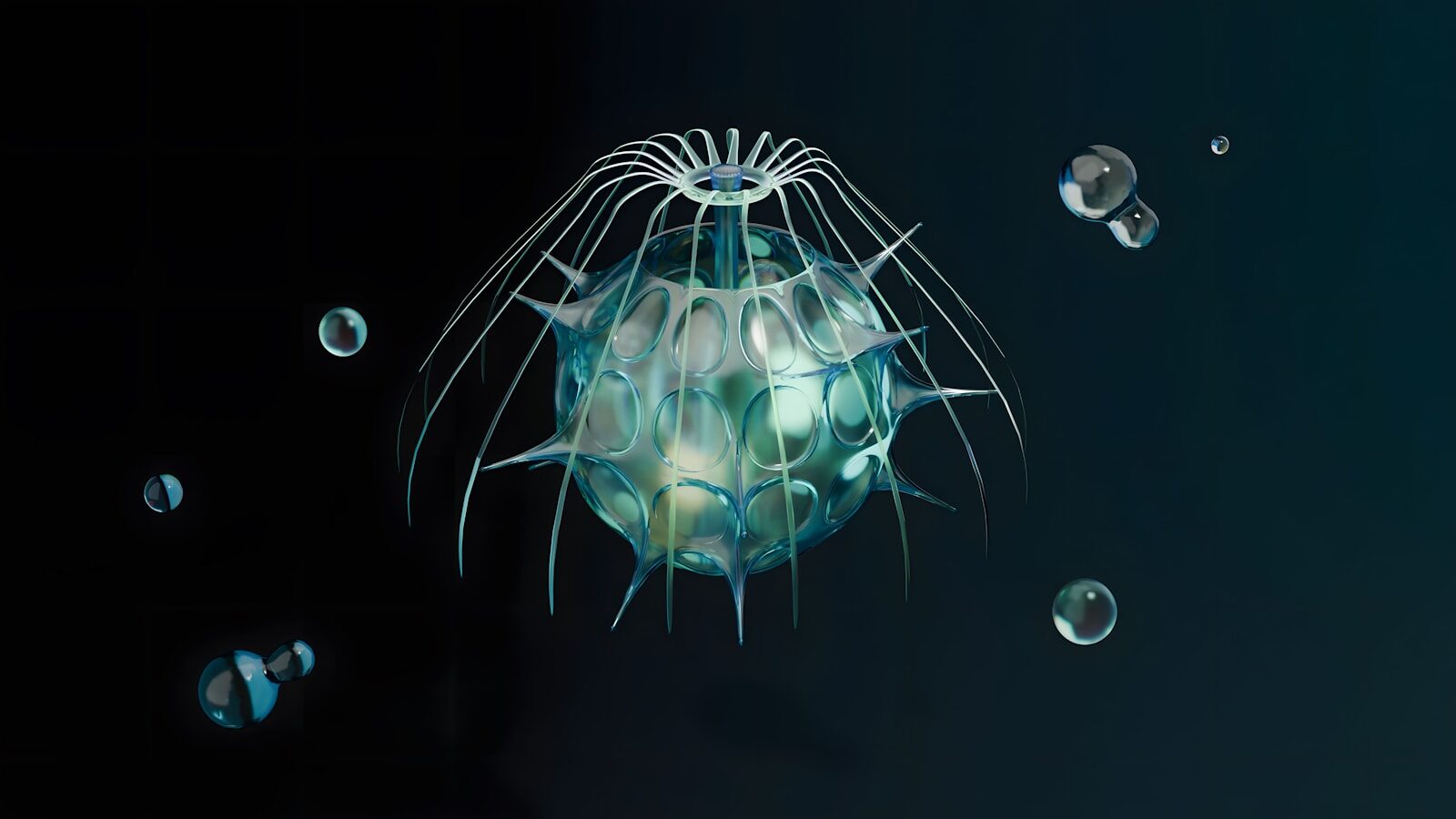
the hydrophone
Ketos Scientific Program in partnership with Astrolabe Expedition.
What is it? A bioacoustic recording system for the underwater world.
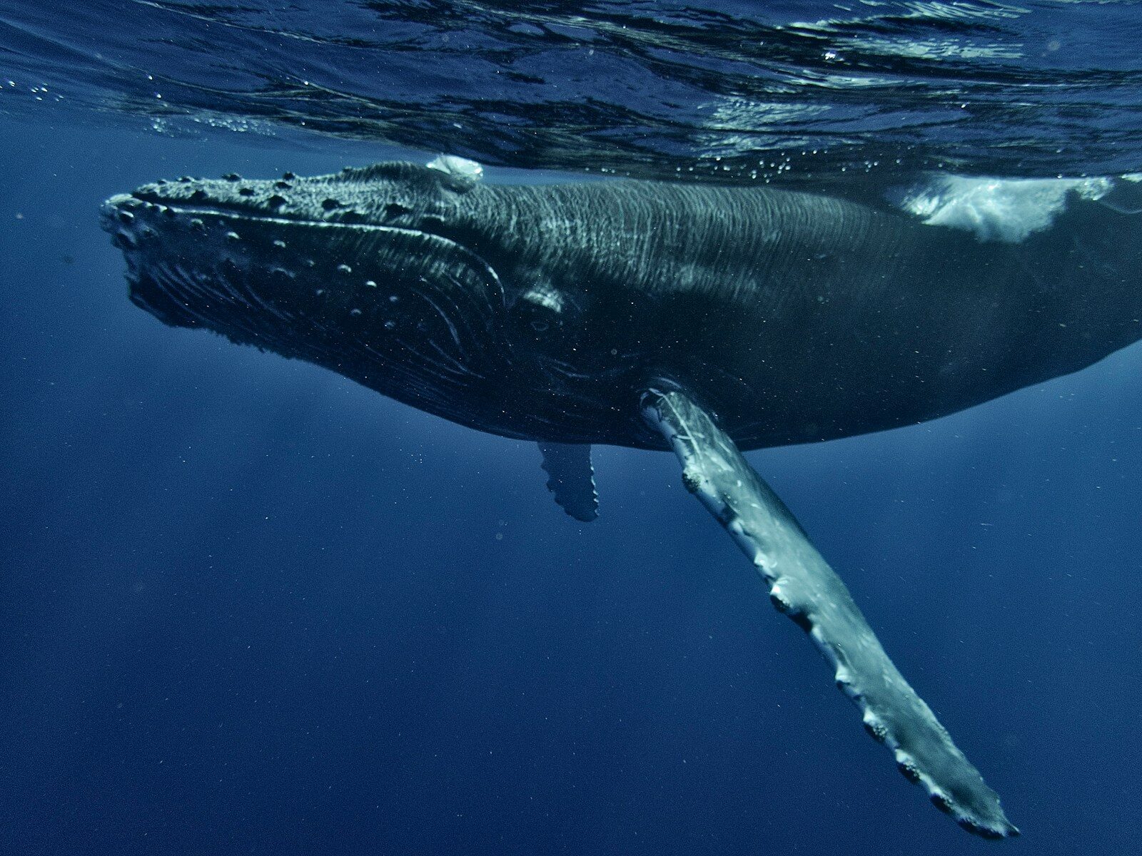
Along the French coast, this program focuses on recording sounds in the marine environment during cetacean sightings, as well as on visual observations of the animals using a photo-identification protocol.
What is it used for? It allows us to listen to marine mammals in order to map their presence and try to understand their languages without disturbing them, while also measuring the impact of human pollution on wildlife.
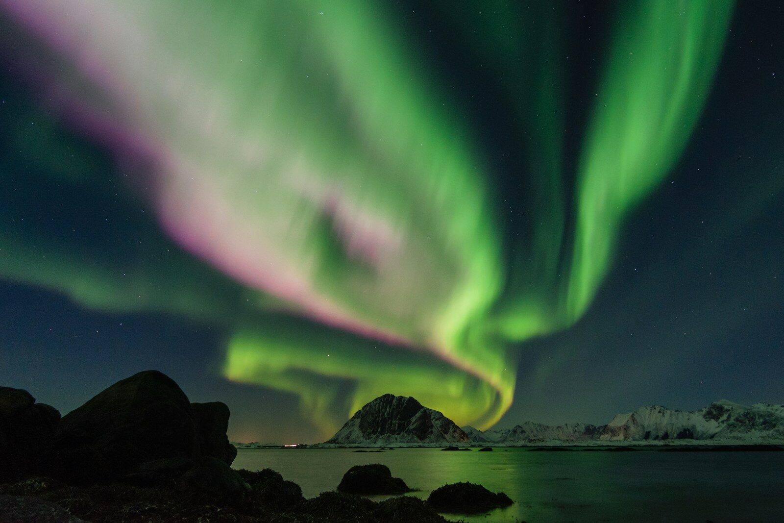
Astronomy and Geophysics Programs
Scientific programs awaiting approval in partnership with Astrolabe Expedition.
CosmicSail This citizen science program involves using a cosmic-ray detector to measure, on board a spacecraft, invisible particles resulting from the interaction between particles from space and the Earth’s atmosphere.
SkyWater This program aims to measure atmospheric water vapor over the oceans to better understand the water cycle and cloud formation in high latitudes and polar regions.
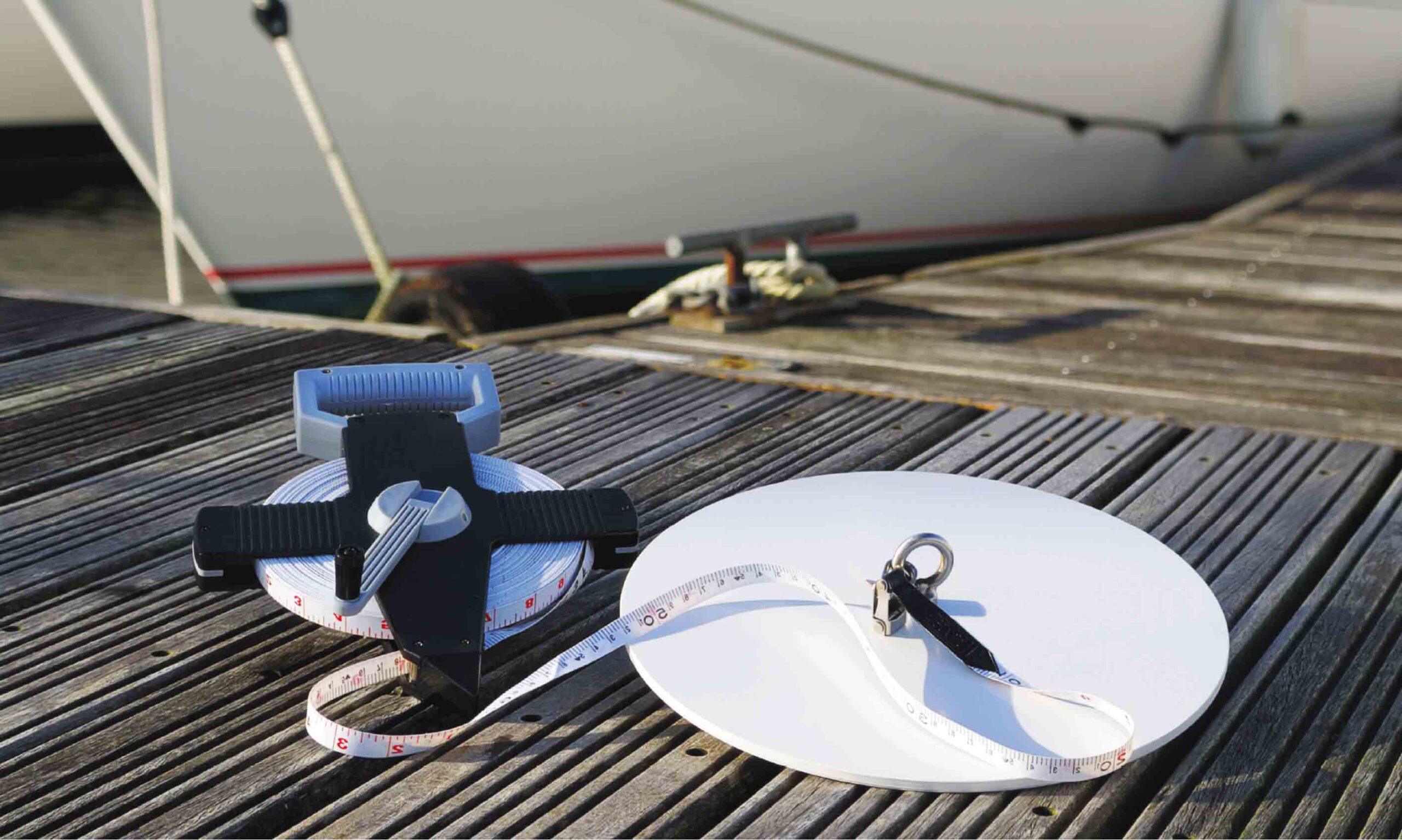
Secchi Disk Study
Secchi Disk Study Scientific Program: Measuring Ocean Transparency.
What is it? The Secchi disk is a white disk 30 cm in diameter, attached to a graduated ribbon and weighted at the bottom with a weight heavy enough to make it sink vertically. It is one of the oldest and simplest scientific tools used in marine research.
When submerged vertically, the depth below the surface at which it just becomes invisible is called the Secchi depth.
What is the purpose of this? By measuring the Secchi depth, we are helping to map changes in ocean phytoplankton in response to climate change.
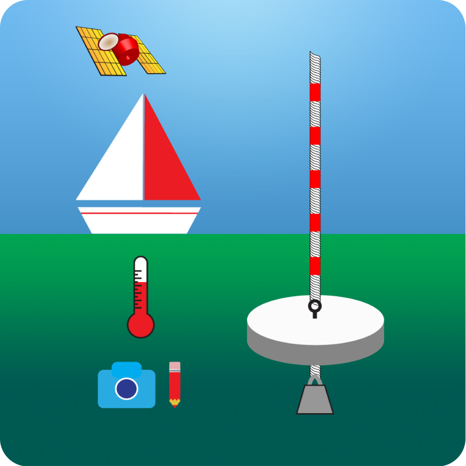
eyes.on.water Color
EyesOnWater Scientist Program: Studying Water Color.
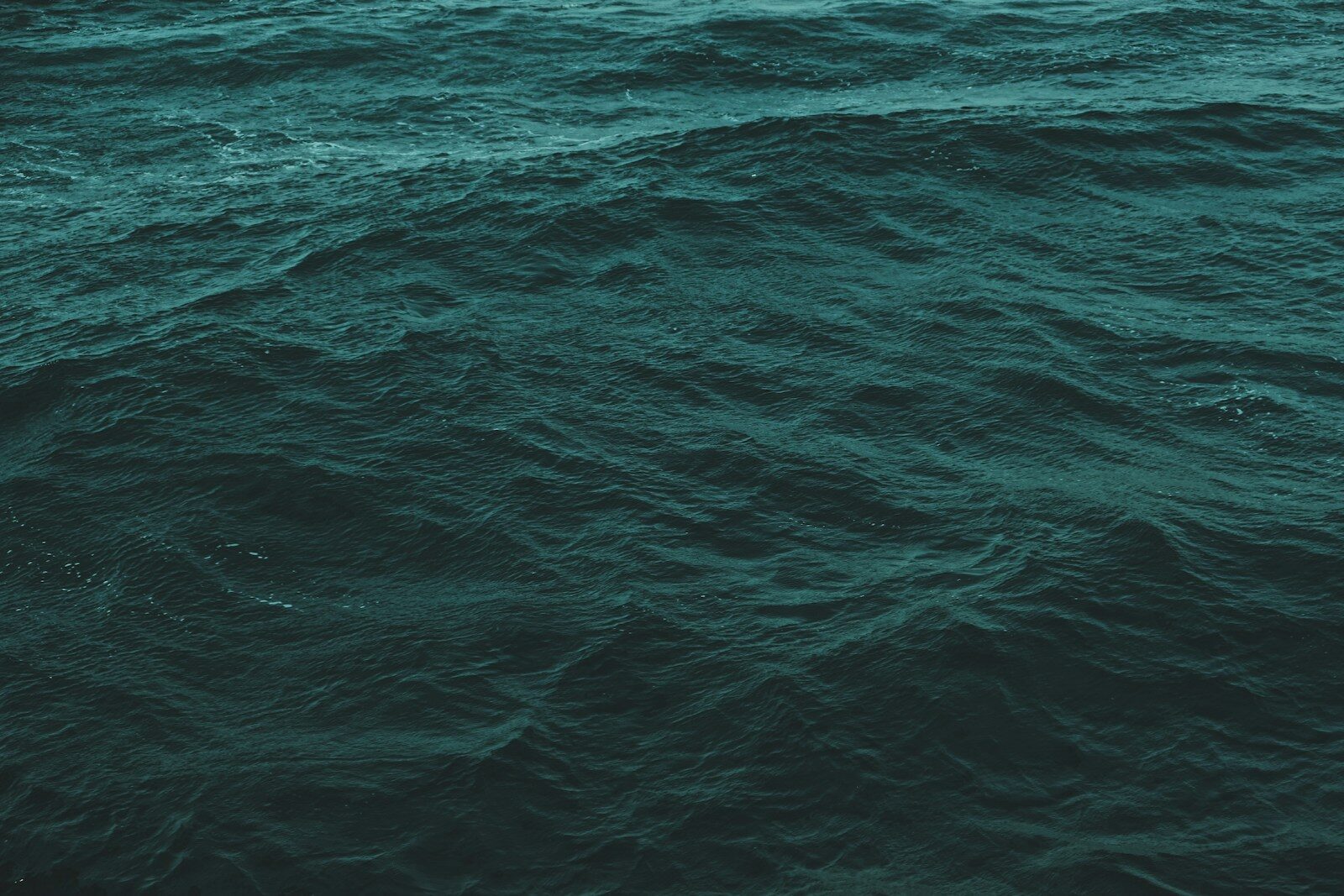
What is it? The OAE contributes to this area of research by taking photos of the ocean to provide information on the color of the water along its route.
What is it used for? The color of the water provides information about its algae and organic matter content, which serve as food for organisms. It is a key climate variable for monitoring and analyzing climate change.
The color of the ocean is partly determined by phytoplankton. Changes in phytoplankton abundance lead to changes in the absorption of CO2—the primary greenhouse gas—suggesting that these organisms may play a role in climate regulation.